
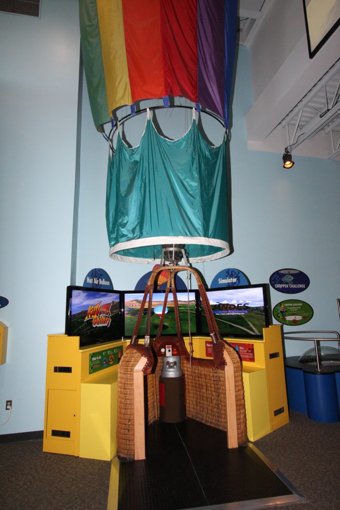
The balloon museum in Albuquerque is worth spending some time. It resides where the balloon field is for the Fiesta.
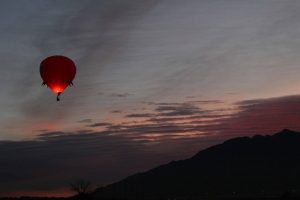
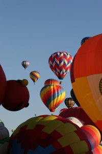
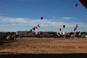
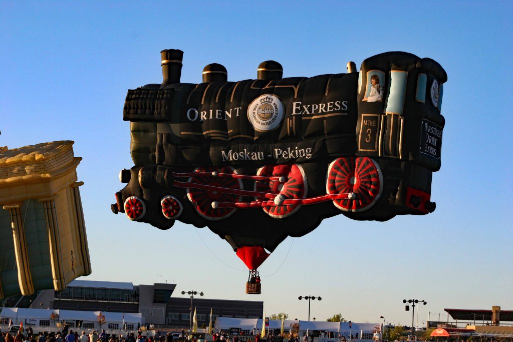
2007 FIESTA
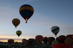


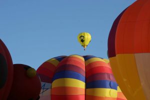


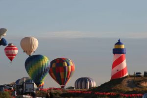
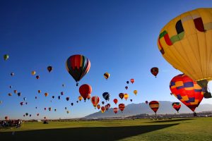

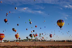


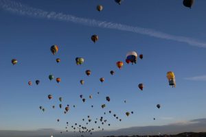


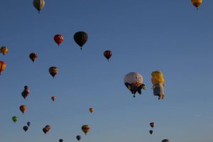


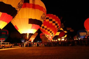


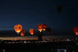


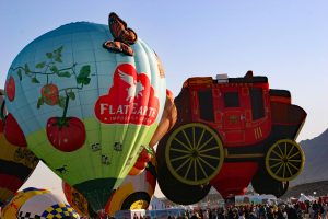


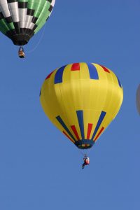


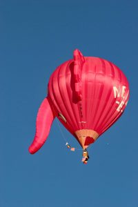


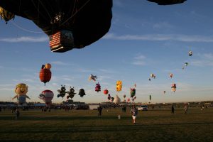


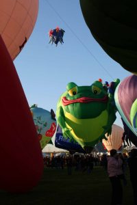


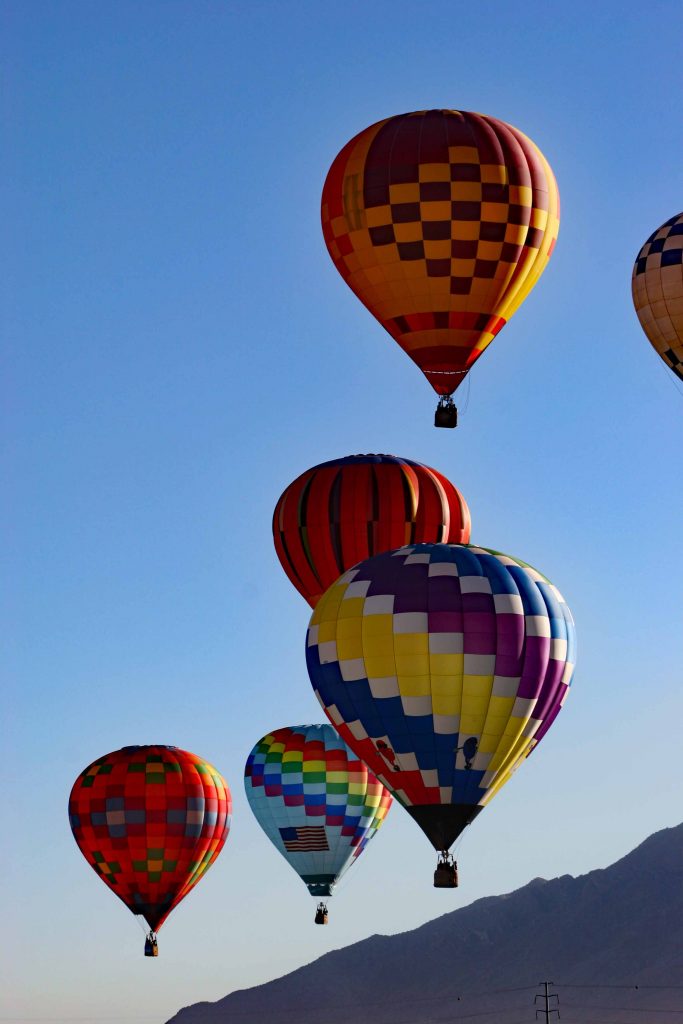
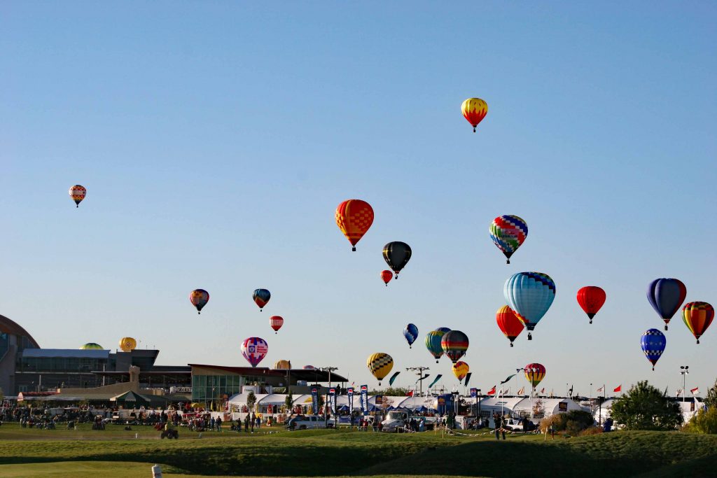
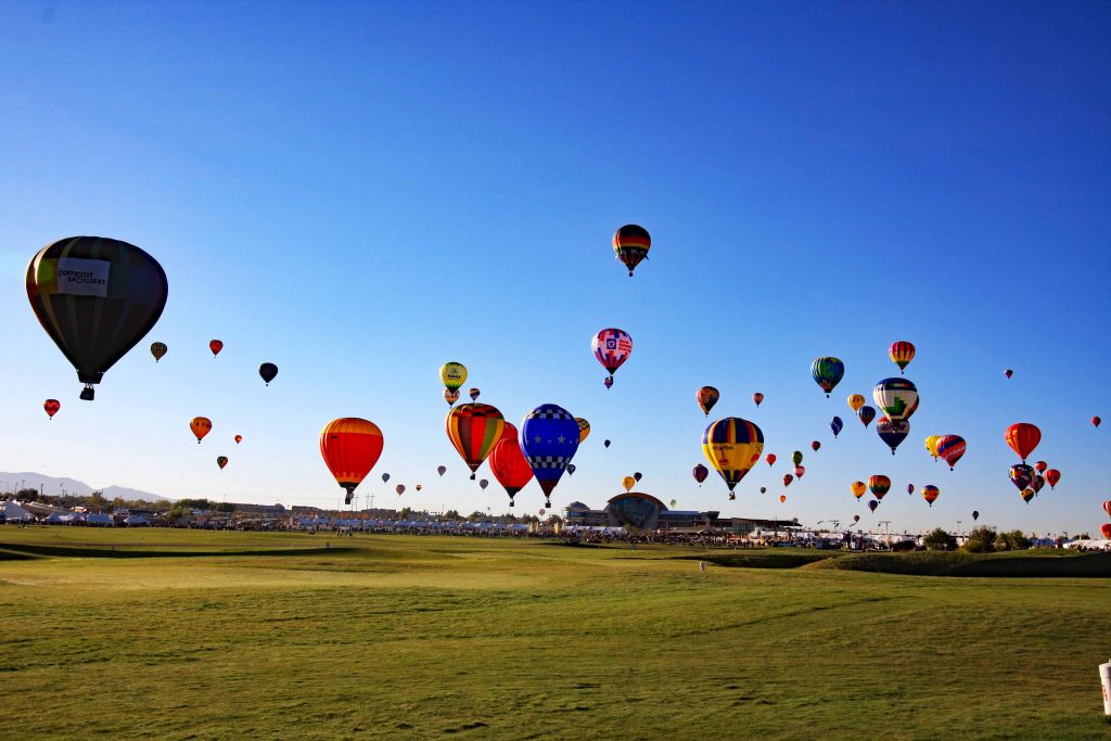
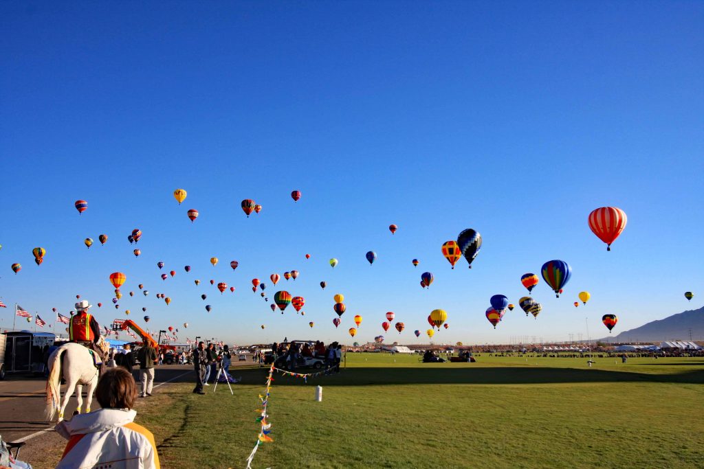
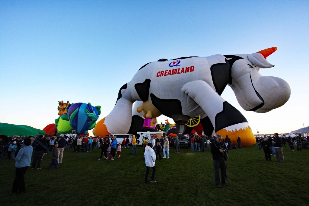
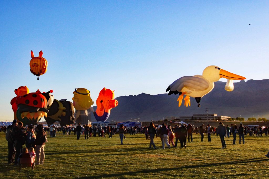
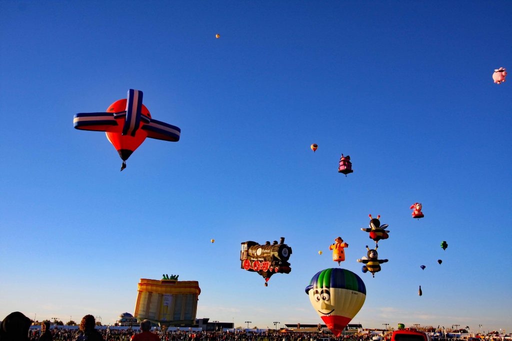
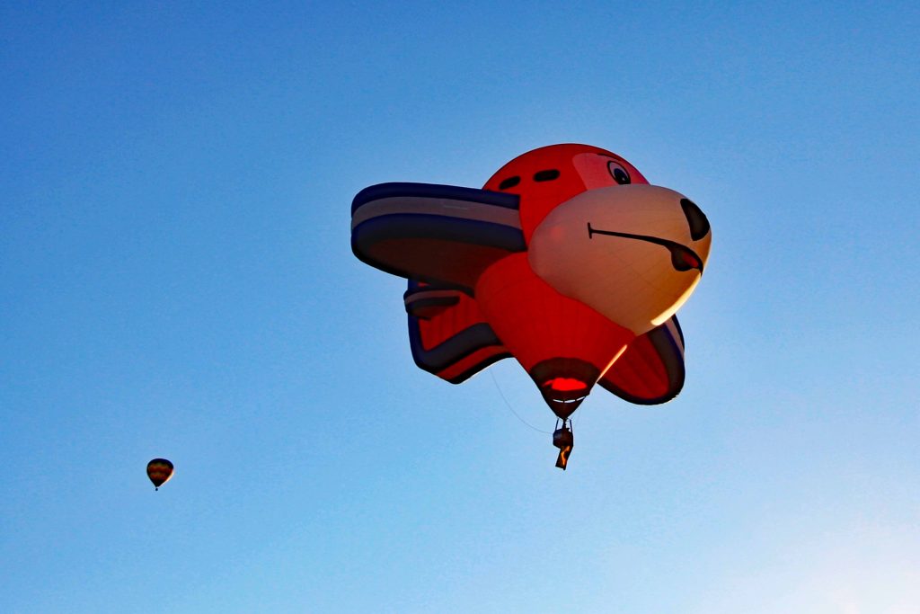
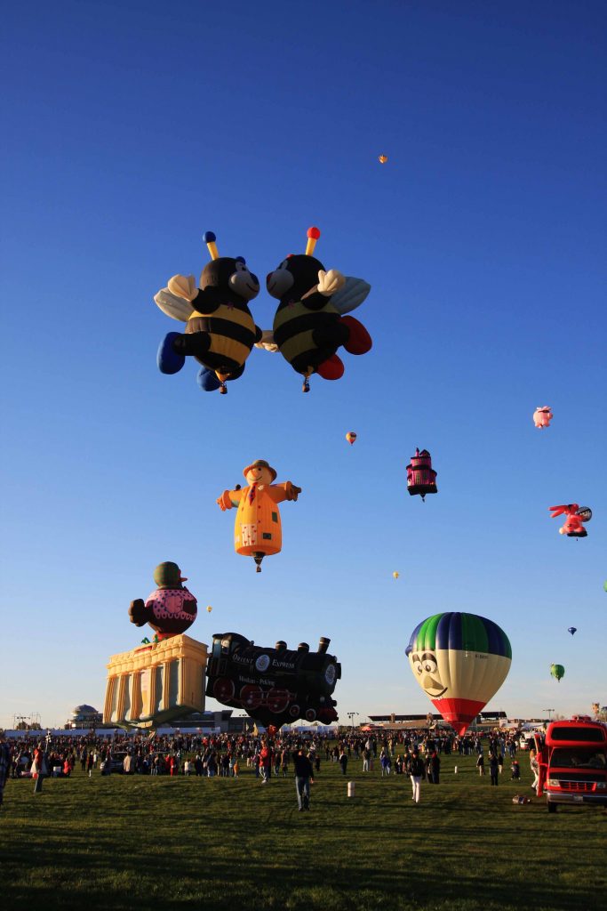
Pictures from 2008 Fiesta


WHAT CAN YOU DO IN THE ALBUQUERQUE AREA?
The options range from exploring old town or visiting National Monuments. Petroglyph National Monument is on the western side of Albuquerque. This monument has two separate areas that contain the largest accessible collection of prehistoric designs and symbols carved into volcanic rock by native Americans and Spanish settlers from 400 to 700 years ago. Kasha-Katune Tent Rocks National Monument is 55 miles north of Albuquerque. Cone-shaped tent rock were formed from volcanic eruptions 6 or 7 million years ago. After your visit, you could consider continuing on to Santa Fe. After your Santa Fe visit, an hour and a half drive gets you to Taos and the Royal Gorge west of Taos.
A visit to Albuquerque would not be completed unless a visit to Sandia Peak is made. Sandia Peak is 10,679 feet. There are three ways of reaching the top. Two ways are not physically demanding. A drive up the backside of Sandia Mountains by driving east on Interstate 40 to NM 536. The other is by taking the tramway up the west side. The third way is by hiking up the north trail or south trail. The north trail is more popular. On a hike up the south trail a bull snake and black bear were encountered.
Images follow to give a sample of views.
Pictures of rocks in Petroglyph National Monument.


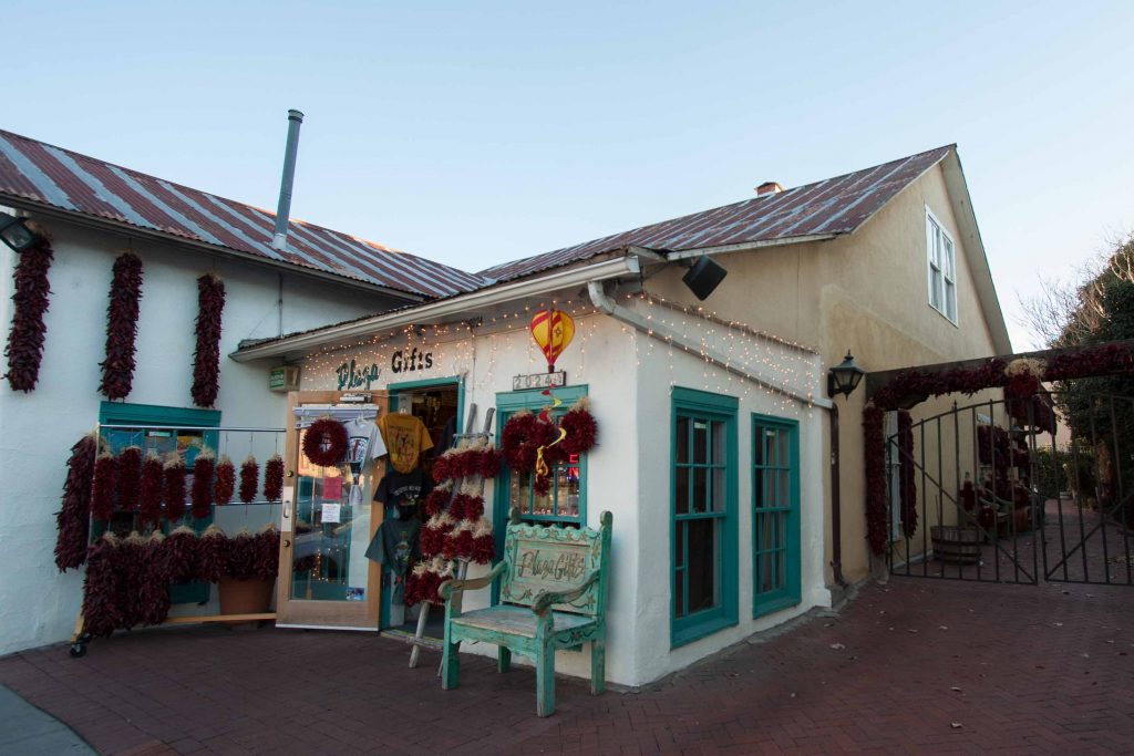
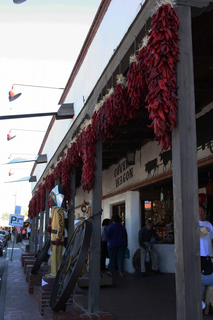
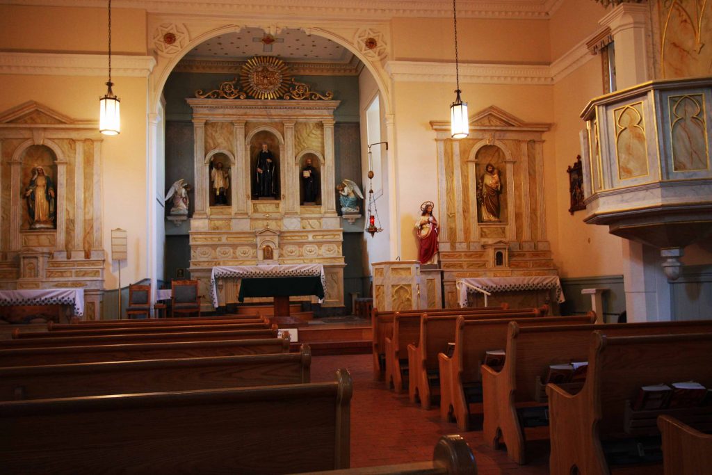
Pictures of Old Town Albuquerque.


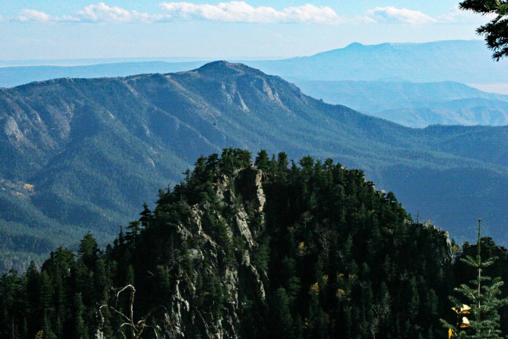
Pictures taken on the western slope of Sandia Mountains from various trails.


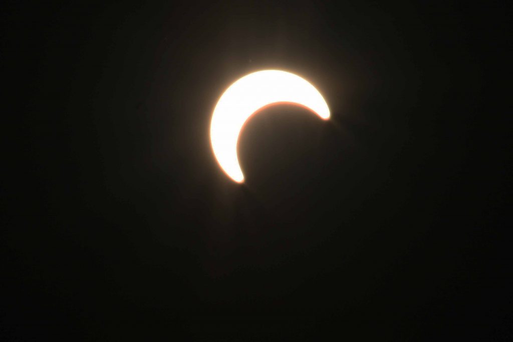
ECLIPSE OF THE SUN
IN MAY OF 2012
The following pictures were taken west of Albuquerque at the eastern edge of Double Eagle Airport in the later part of the eclipse of the sun. When the eclipse started, a position was taken on the western slope of the Sandia Peaks. The haze prevented clear pictures from this position. The eclipse was at the end of the day.


THE TRAM TO THE TOP.


MORE PICTURES TAKEN ON HIKES ON THE TOP.


